
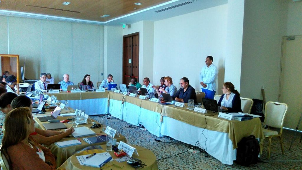
February 16, 2017 – The second Steering Committee meeting of the Caribbean Marine Atlas Project is taking place in Cartagena, Colombia. This meeting has been organised by the Intergovernmental Oceanographic Commission Sub-Commission for the Caribbean and Adjacent Regions (IOC/IOCaribe) and hosted by the Institute of Marine and Coastal Research of Colombia (INVEMAR).
11 governments from the CLME+ region are represented: Barbados, Belize, Colombia, Dominica, Dominican Republic, Guatemala, Jamaica, Mexico, Trinidad and Tobago, Turks and Caicos Islands and Venezuela.
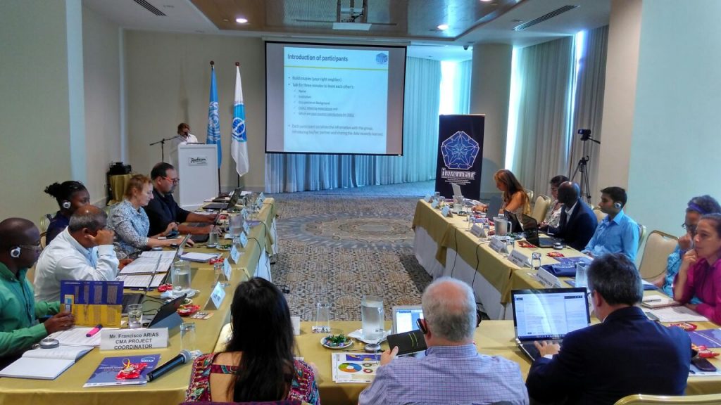 The purpose of the CMA2 Project is the operationalisation of a “Caribbean Marine Atlas” online platform in support of Integrated Coastal Zone Management. Special attention is paid to coastal hazards, climate change and biodiversity, as well as habitats, fisheries and pollution – the three main transboundary problems identified in the Caribbean and North Brazil Shelf Large Marine Ecosystems (the CLME+ Region).
This project will support the implementation of the CLME+ Strategic Action Programme by compiling and publishing relevant geospatial data that can be used by a wide range of stakeholders.
 Discussions during the meeting are focusing on the development of the platform (atlas.caribbeanmarineatlas.net), data to report on indicators and the creation of thematic working groups (technology, communications, indicators). The output of the meeting is a 2017 workplan, including joint activities with the CLME+ Project.

